
CHL Model Image
Hydrogeomorphic (HGM) Approach for Assessing Wetland Functions
Model Category
Description
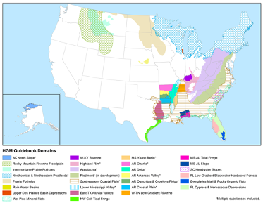
The Hydrogeomorphic (HGM) Approach for Assessing Wetland Functions was developed by researchers at the Engineer Research and Development Center (ERDC)
CHL Model Image
Model Category
Description
The Hydrogeomorphic (HGM) Approach for Assessing Wetland Functions was developed by researchers at the Engineer Research and Development Center (ERDC)